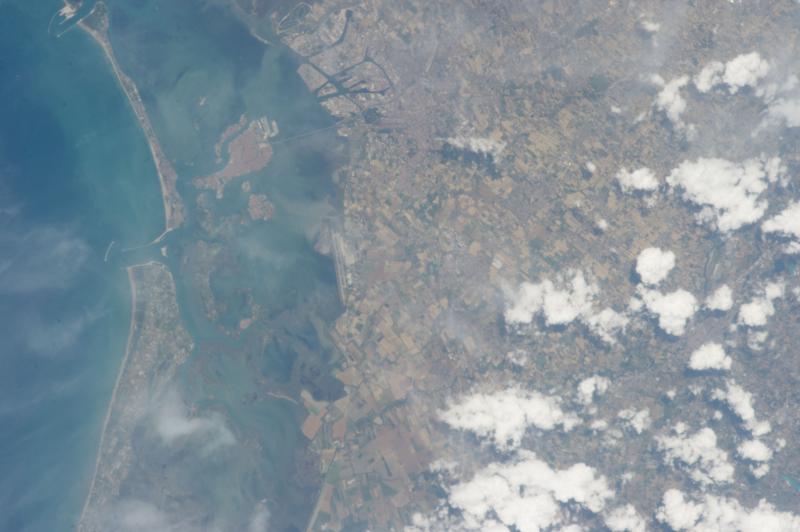
The astronauts onboard the International Space Station (ISS) take daily photographs of the Earth, which are then catalogued and archived by The Gateway to Astronaut Photography of Earth, a public service provided by NASA.
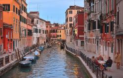
A series of photos of the Venice Lagoon taken by the ISS since 2009 have been mapped by the Osservatorio della Laguna (Atlas of the Lagoon, collaborating with NASA on the project) providing a wealth of information on the climate, ecosystem, hydrology, and human impacts to the Lagoon. The photos are not just captivating to see; they are especially useful to study the current state of the lagoon and how it is changing.
On this NASA Earth Observatory page, "Parting the Sea to Save Venice," you can see how the lagoon has changed since 2000. NASA provides the following explanation for the changes, which reminds us how human action is affecting the environment (such as the impact of large cruise ships entering the lagoon):
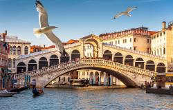
“[…] the sea that once protected Venice now threatens it. Nestled in the Venetian Lagoon, the 118 low-lying islands of modern-day Venice are separated from the Adriatic Sea by a 45-kilometer (28-mile) chain of barrier islands. The Adriatic connects to the lagoon via three inlets—the Lido, Malamocco, and Chioggia.
The sea now imperils Venice because of three conflated issues: groundwater pumping and offshore gas drilling have caused the city to subside; sea level has been rising; and natural tidal protections like mudflats and marshes have been disrupted over the past century. River courses have been made rigid, inlets have been widened, and the lagoon has been dredged to create shipping channels; adjustments to make boating and shipping safer have helped make the land more vulnerable.”
You can view and download photographs of the Venice lagoon as seen from space here.